The Map Setup button in the Template Designer of Collect Enterprise utilizes a Map Field to associate a form with the geographic features in the Map Form Viewer in Collect Mobile.
To configure the Map Setup for a given form in a template:
1.Click the Map Setup button.
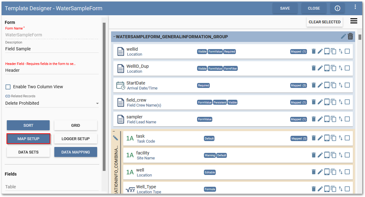
2.The Map Setup window will open. In the Map Field field, select a Map Field available in the current form. Depending on the Map field type selected additional symbology configurations, see the individual Geography field and Map Plot field sections below for more information.
Map Field
The Map Field allows for the use of the Geography field and Map Plot field types to display geographic features in the Map Form View in Collect Mobile.
Note: Only LAT/LONG coordinates are supported in the Map Form View. |
|---|
Map Setup and the Geography Field Type
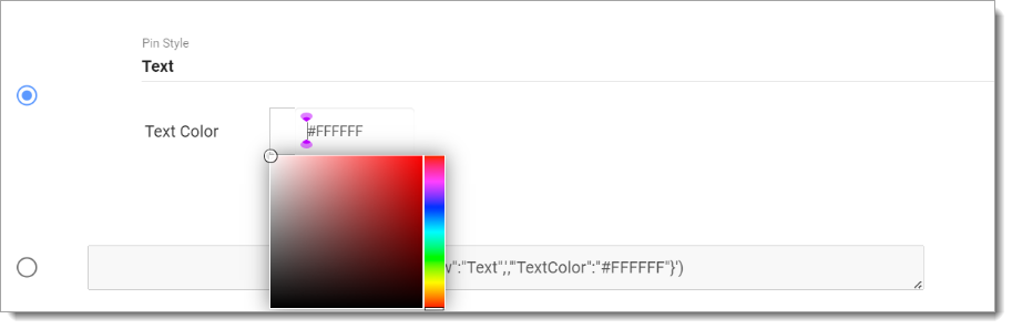
When the Map Setup is configured to use the Geography field, each Geography field record will be plotted as a point on Map Form View in Collect Mobile. The Map Setup feature for the Geography field type has additional symbology configuration options available to set properties for how pin locations will be displayed on the Map Form View in Collect Mobile. By default, the Map Setup dialog is selected to the formula display. To edit the pin and text colors, click inside the formula box to display the formula builder dialog. The colors easily can be changed by editing the Hex numeric color code values.

Additional logic can be implemented into the formula display.
Example:
The formula below in the formula display will turn the pin red when the location has not been sampled, and green when the sampling at that location has been completed:
CONCAT('{','"View":"PinText",','"PinColor":"',IF([completed_yn],'#11CA10','#D30C0E'),'","TextColor":"#FAF9F9"','}')
Where [complete_yn] is a custom Formula field with some logic suitable to your workflow indicating sampling at that location is complete. In the above example [completed_yn] had a formula of:
NOT(ISNULL([date]))
If the [sample_date] was populated the sampling at that location was considered completed.
To edit the pin and/or text colors using the Pin Style drop down and Text Color selector box, select the top radio button. Select whether to change the pin color, the text color, or both. Click the appropriate color selector box. The colors can be easily changed by either entering a Hex numeric color code value or picking a color from the screen. Changes in color to the pin and text using the Pin Style drop down and Text Color selector box will be displayed in the formula display.
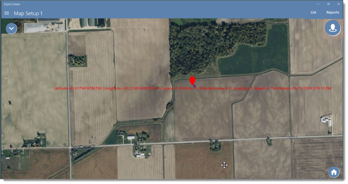
Note: By default, the Map Form View will only show the pin's location information as the pin identifier.
|
|---|
Pre-populating the Geography Field Type:
Locations and their associated coordinates from DT_LOCATION and DT_COORDINATE can be pre-populated into a field Geography file to be viewed in the Map Form View in Collect Mobile. The Geography field type stores the coordinate data in JSON array, therefore the pre-populated value must match the JSON array expected.
The Location_v1.geo_location field in the Collect – Field EDD is configured out of the box to be compatible with the Geography field, as seen in the example below
{'Latitude':-82.81164118575145,'Longitude':42.17099096186041,'Altitude':228}
If the template is being pre-populated by another report with DT_COORDINATE data, the following formula can be used in the pre-population mapping of the Geography field;
CONCAT('{','''Latitude''',':',[y_coord],',','''Longitude''',':',[x_coord],',','''Altitude''',':',[surf_elev],'}')
Where [y_coord] is the y coordinate field, [x_coord] is the x coordinate field, and [surf_elev] is the surface elevation field in the report used to pre-populate.
Map Setup and the Map Plot Field Type
The Map Plot field type is used to plot points, lines, and polygons in the Map Form View in Collect Mobile. When the Map Plot field type is configured in the Map Field of the Map Setup, no symbology configuration options are available. The symbol properties (i.e., size, color, shape) are defined when interacting with the Map Plot field in Collect Mobile.